Your Legal Resource
South Fork Of The Crooked River
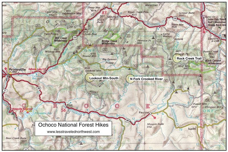
A description and map of the South Fork of the Crooked River location
The South Fork Crooked River headwaters lie in the wide flats to the east of Hampton Buttes, east of Bend. The river gathers itself together on lands managed by the BLM and two large ranches. From there, it flows north through the canyons of the South Fork Wilderness Study Area, an Area of Critical Environmental Concern for redband trout, a privately held conservation property, and through undesignated BLM lands before joining a broader valley of private lands and ranches for the next twenty miles.
Historically, the South Fork Crooked was specifically described in Hudson�s Bay trappers� journals as an area filled with thousands of beaver, as the trappers chronicled their intentional extirpation of the species. In the absence of beaver, and with the implementation of extremely heavy grazing that occurred with settlement immediately afterward, the delicate balance of the natural ecosystem unraveled.